Get to know your District Plan: Part 1
- By Rod Brown
- Apr 14, 2016
- 5 min read
Some key points:
The District Plan controls how we use our land and the impact that use has on our local environment.
It is reviewed every 10 years - that review is now happening.
We have New Zealand's most permissive District Plan which fails to control inappropriate development.
These matters do impact on you as a resident of the Kerikeri/Waipapa area
Vision Kerikeri was formed when residents of the town discovered, to our surprise, that an 8 storey apartment building was to be built, by a non-notified consent, just behind the present Butler Centre. Further investigation revealed that Kerikeri no longer had a building height limit which had somehow been removed from the District Plan.
Since that episode we have taken a greater interest in Council planning and, at present, all residents need to lift our level of interest as the Far North District Council (FNDC) is reviewing the District Plan (DP) which it is required to do every 10 years.
The reason we should take an interest in the District Plan is that it controls how we use our land and the impact on the environment.
Council is seeking better public collaboration and participation in this District Plan review process and has set up a pop up shop in the Butler Centre Ground floor to facilitate this.
To help you to better understand the District Plan I will be producing a number of articles looking at different aspects. The next article will deal with the Structure Plan.
What are District Plans?
They give local effect to the Resource Management Act and are subordinate to any national or Regional Policy Statements, for example; Fresh Water or Soil and Water Management.
Councils do this in a number of ways and most have defined rules for land use. Our Council, of the time, influenced by ideological pressure from some land owners, chose to have a plan which:
“wherever possible reflects the desire of the Council to minimise its level of intervention in land use... by encouraging a “stewardship” role or ethic in land management through mechanisms such as incentives, education and other forms of encouragement” and,
“ the Plan sets effects-based parameters which allow people to more freely exercise land use choices and plan for the future with reasonable security” (DP Principles Para. 1.2).
The result was an effects-based District Plan which does not define land uses in the Rural Production Zone.
How effective has this effects-based DP been?
It is one of only three effects-based plans in N.Z (the most permissive type of DP) and has not been repeated elsewhere in the Country, including Auckland’s amalgamation.
While it has suited large land owners and developers it can largely be described, like in the National Women's inquiry of 30 years ago, as an unfortunate experiment.
In the Rural Production Zone where you would expect it to see farming or horticulture, by controlling effects and not activities, there are no limits on commercial and industrial activities that are not closely related to primary production. Vision Kerikeri predicted long ago that inevitably, as a consequence of this, activities would occur that were out of character with the predominant surrounding activity.

Allowing the Northland Waste rubbish sorting depot to be located next to the Turners and Growers export pack house on Waipapa Road is an example of this and The Environment Court appeal is still on-going.
As a result, the intended freedom of an effects-based DP actually results in greater uncertainty and less security.
Some time ago we searched 12 District Plans from Whakatane to Whangarei and in every one industrial activities are not permitted activities in their rural zones.
Plan Change 15, still in progress, seeks to deal with such anomalies, not by stating what is not permitted, but through limiting the number of permitted daily vehicle movements into an activity. This seems to be an elaborate (and probably unmonitored) mechanism to avoid rules about unacceptable activities.
A District Plan normally lists for each zone a hierarchy of; objectives, policies and then rules . District Plan policy 8.6.4.describes; “the entrance to the township of Kerikeri along Kerikeri Road is an important part of the towns’s identity for local residents and visitors alike” and among other things that; “landscape planting... will ensure that [its] amenity values are recognised and protected”.
However, there are no supporting rules and no requirement for our prized entry to town to have any landscaping at all. A practical (for the owner erecting it) but ugly fence could not be prevented.

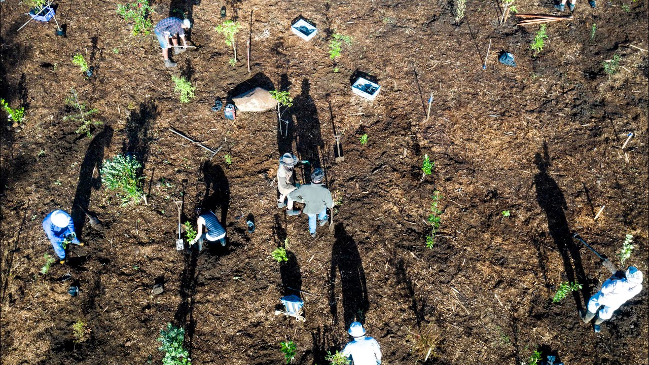
In a more usual District Plan; environmental effects are controlled by placing like land uses together. In our Rural Production Zone ad-hoc development of urban style subdivision has occurred in clearly rural areas (see examples in image to left) and businesses can locate ‘out of zone’. Commercial and industrial development has taken place along Waipapa Road to avoid paying central Kerikeri area rates.
This highly permissive approach which allows a high degree of flexibility is not necessarily protecting the environment, particularly rural character and amenity values and has cumulative effects such as:
Land fragmentation can lead to reverse sensitivity when a housing development takes place next to a legitimately established orchard and the new neighbours complain about spraying.
Fragmentation can lead to expensive demand for Council infrastructure.
Our good soils are valuable for food production and reducing “carbon miles”. Much is already sub-divided and more could follow.
Changing the District Plan
These issues are largely a Kerikeri/Waipapa problem which partly lies in a small area of the Rural production Zone that accounts for about 70% of the very rural Far North. We do not wish to restrict rural activities over most of the Far North but the “one size fits all” approach does not meet our local needs.Kerikeri Road is a small sub set of this large rural zone and needs rules for its amenity.
Our impression is that preserving the sanctity of the effects-based Plan (avoiding rules) has been paramount but:
It needs some sensible rules in order to limit ad-hoc development and prevent the adverse effects on amenity and reverse sensitivity. Our remaining good soils need careful consideration, especially if we are thinking about future generations who may not enjoy the same access to food and water that we currently do.
Some special zoning and rules for Kerikeri Road and other parts of our local environment is required, possibly by establishing a Kerikeri Precinct Zone.
Summary
The FNDC has New Zealand’s most permissive District Plan and, as a result, has been unable to control inappropriate development.
We do not need random subdivisions and private plan changes in the rural environment. Development should be integrated with The Council’s ability to plan and, its very limited resources to service and provide infrastructure.
The present plan makes it virtually impossible to resist inappropriate development and avoid the consequences of that development.
Further reading:
Far North District Council - District Plan


Greaat blog you have here