Te Wairere Waterfall Walking Track - Map & Notes Track Status = OPEN
While the waterfall is the highlight of the track, there are around 4 kilometres of tracks, including several access points. The Komoot map below displays the main Wairoa & Te Tahawai tracks that run between Alderton Park and Mill Lane. If you have been a regular user of the track, the section between Mill Lane & Hall Road is temporarily closed due to construction work, but an alternative route to Hall Road is available.
The track is not particularly difficult, but you need to wear footwear that will handle stony and slippery terrain. The track is rocky in places and will be slippery if conditions are wet or there has been recent rain. Do not use the track if there is any risk of flooding. Dogs are not allowed on some sections of the track; these are signposted. Cycling, horseback riding, camping, and lighting fires are prohibited.
If you are driving, park your vehicle at the Landing Road Carpark located on Landing Road, which is accessed off Waipapa Road. Alternatively, park your vehicle in the area upstream from the Cobham Road Bridge on Cobham Road. There is also signposted pedestrian-only access off Alderton Drive.
View the track details on Komoot

Donations can be made to help with extending, upgrading and maintaining the track. This work is all completed by community volunteers. See the home page for details on how to make a donation.


Stop at the falls and enjoy the serenity of the falls which are surrounded by native bush

The bridge would not have been possible without a generous donation from Michael Sidey of Wanaka who is the grandson of previous owners of Pagoda Lodge which you will see if you include Pa Road in your walk. Rotary Kerikeri built the bridge.

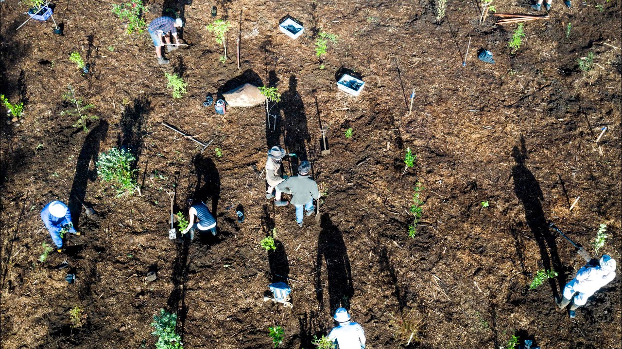
Track building and maintenance is carried out by community volunteers. Here "Friends of the Wairoa Stream" volunteers are working on the track around the falls. "The Friends' have working bees on the First and third Monday of each month.
Project & Track Updates