Te Wairere waterfall / Wairoa Stream Walking Track
- Cliff Mail
- Jan 1, 2016
- 3 min read
Updated: Sep 17, 2020

Wairoa Stream has been a hidden and much neglected treasure which at its closest point is only a 5 minute walk from the centre of town.
If you are not familiar with the Stream, you cross it just before Orchard Estate on Cobham Road at the South Eastern boundary of Kerikeri. From the bridge it runs in a north easterly direction flowing into the Kerikeri Inlet just below Kororipo Pa. The spectacular Te Wairere waterfall is located on this section of the stream.
Te Wairere waterfall has not been accessible for the last 60 years but in the “horticulture heyday” of the town, there was a well known swimming hole below the falls and it was virtually the town’s only recreation area.
A track had existed alongside the stream and was used by orchard workers proceeding to Darwin Road (it is mentioned in Fiona Kidmans book “At the end of Darwin Road”). Part of the track was also a historic route used by Maori and also British troops on the way to Ohaewai battlefield in 1845.

The swimming hole on the stream: Photo Cliff Mail
There are currently two projects underway that will on completion, provide foot access to the falls and the entire section of the stream from Pa Road bridge to Cobham Road Bridge and beyond.
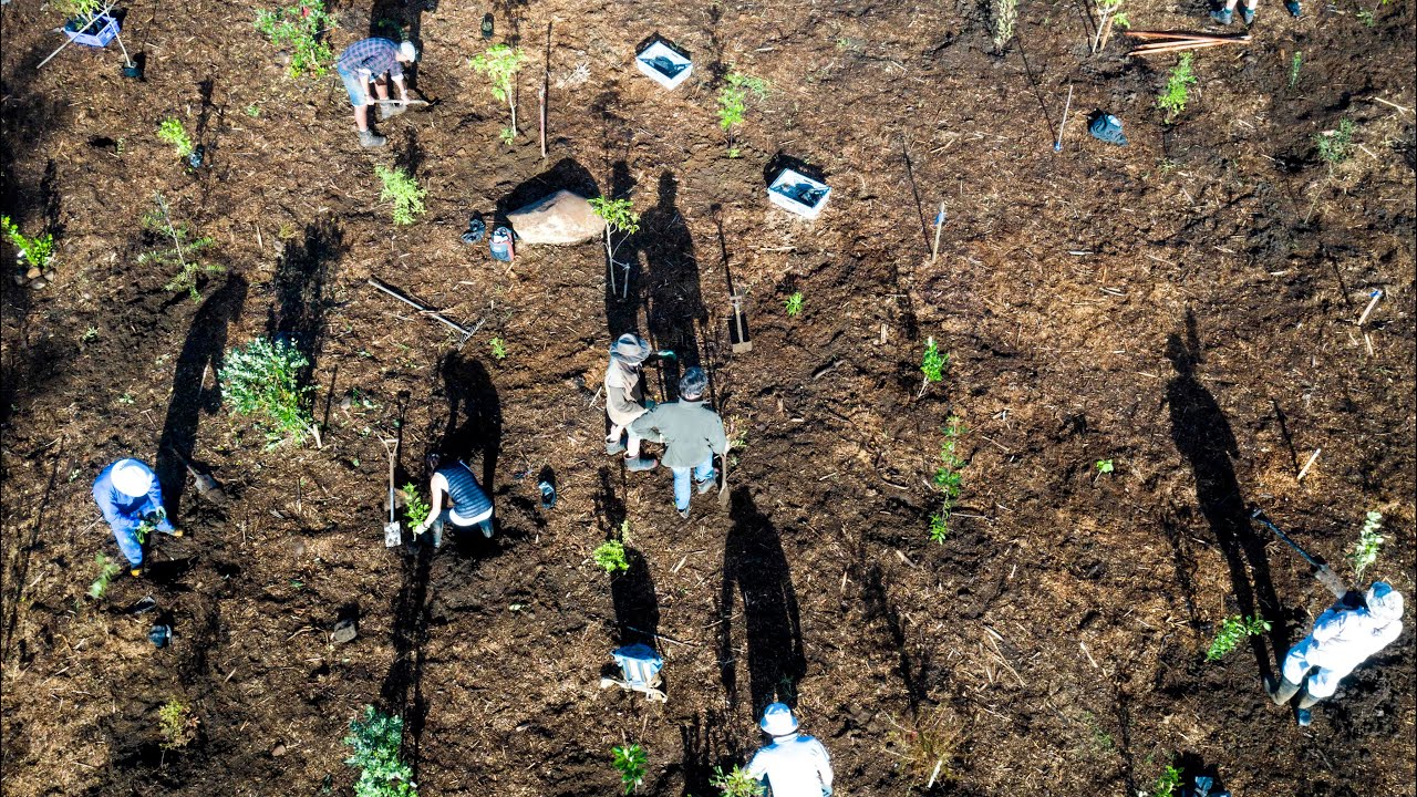
In 2012 a public "walkway and wildlife corridor" began. Starting 350 metres upstream from the falls along the Orchard Estate boundary to the Cobham Road bridge and then continuing upstream. So far 800 metres has been planted and it has reached Sammaree Reserve. This is a joint project by Vision Kerikeri and Living Waters.
In Feb 2015 Vision Kerikeri and Rotary Kerikeri started a 1.5 km track from the Pa Road footbridge. This track will re-open public access to the Waterfall (which is a similar height to Rainbow Falls). A second Stage will be to link the waterfall track to the to the wildlife corridor by forming a track around the waterfall. When completed it will provide a new circular walking route for the town.
Kerikeri Primary School has a stream boundary and had access to the falls but the track is completely degraded. THe school is collaborating with Ngati Rehia as kaitiaki of the stream to restore this track access as a student problem solving project.
When completed, the two projects will result in a valuable addition to the current network of walking paths in Kerikeri by linking with:
At Alderton Park:
You can cross the Wairoa stream via the Pa Road footbridge to Pa Road which allows you to complete a circular walk back to town via Inlet to Cobham Roads
Continue onto the Kororipo Pa track that in turn links to the Hongi Hika Track or the Kerikeri River Track.
Orchard Estate exit you can complete the circular walk back to Alterton Park via Pa Road or return into town via Cobham Road.
Building the track is just the begining, without ongoing maintenance, especially weed control, the track would rapidly become unusable. Weed control is largely uo to community volunteers and an informal group "Friends of the Wairoa Stream" has been created to ensure that this work is completed.
Check back to this site for updates on progress with these projects.


Comments